See how AI-enabled drones, RTK/PPK, photogrammetry, orthomosaics and point clouds support route mapping for optical and electrical infrastructure projects.
Check it out!
Artificial Intelligence in Engineering Projects — Telecommunications and Energy. The application of AI in engineering is moving beyond the theoretical — sometimes almost futuristic — and gaining ground in practical solutions applied directly in the field.
In this article, we present a real case study of Artificial Intelligence applied to Engineering Projects. We show how drones with embedded intelligence are optimizing a critical stage: route mapping for electrical line infrastructure and optical links.
More than technological innovation, the integration of AI and aerial surveying is redefining standards in infrastructure projects, where route accuracy and reliable technical documentation are essential for approval, safety, and feasibility.
Based on a project conducted by our engineering team, we evaluated how intelligent drones are replacing portions of traditional surveying workflows, accelerating deliverables, reducing operational risks, and increasing the technical quality of route definitions.
[elementor-template id=”24446″]
What are AI-enabled drones and how do they work
AI-enabled drones are unmanned aerial systems that integrate onboard autonomous navigation, computer vision, and machine-learning technologies to perform tasks with greater precision, safety, and autonomy. In engineering projects, they are increasingly used to replace or complement traditional surveying.
Embedded intelligence allows the drone to go beyond simply flying over predefined coordinates. It can identify obstacles, adjust altitude according to terrain, record relevant features such as poles, structures, and natural paths, and capture high-resolution georeferenced imagery with centimeter-level positioning when equipped with RTK (Real-Time Kinematic).
After the flight, these data are processed by software that may also use AI, including photogrammetric engines that generate orthomosaics, digital terrain models, and point clouds. The result is a technical dataset ready for use in optical and electrical network projects and compatible with CAD and GIS platforms.
Technology and onboard capabilities of drones used in engineering
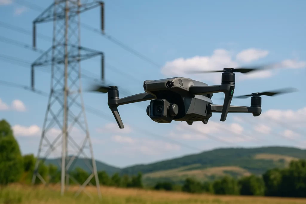
Drones used in technical projects require capabilities far beyond those found in recreational or consumer drones. These systems are designed to perform surveys with centimeter-level positioning, operate safely in critical environments such as areas near energized electrical networks, and deliver data compatible with professional engineering platforms.
Main capabilities
| Capability | Technical function |
|---|---|
| GNSS with RTK/PPK | Provides positioning with error below 3 cm under suitable conditions, essential for surveying |
| High-resolution camera with mechanical shutter | Captures images with reduced motion distortion, suitable for orthophotogrammetry |
| IMU (Inertial Measurement Unit) | Stabilizes flight and maintains alignment during mapping |
| Obstacle-avoidance sensors and computer vision | Detects and avoids obstacles in real time |
| Software-based autonomous flight planning | Allows the drone to follow programmed routes with controlled image overlap |
| Compatibility with photogrammetry software | Generation of orthomosaics, surface models, and point clouds |
| Integration with ground control points (GCPs) | Improves geodetic accuracy for high-demand projects |
Professional vs. recreational drones: what are the practical differences?
Although visually similar, professional drones used in engineering have purposes, architecture, and performance substantially different from consumer drones used for entertainment, casual video, or aerial photography.
| Characteristic | Professional drone (engineering) | Recreational drone |
|---|---|---|
| Positioning accuracy | Centimeter-level (with RTK/PPK) | Typically 1 to 5 meters |
| Camera | Calibrated sensor, 20–45 MP, mechanical shutter | Automatic camera, 12–20 MP, autofocus |
| Flight planning | Automated missions with overlap and GSD control | Manual control or basic waypoints |
| Flight time | 30 to 50 min with professional batteries | 20 to 30 min (lower endurance) |
| Purpose | Engineering, surveying, technical inspections | Leisure, hobby, recreational filming |
| Technical documentation generated | Orthomosaic, vector plan, point cloud, UTM coordinates | Photos and videos without survey-grade technical value |
| Price | R$ 35.000 to R$ 80.000+ | R$ 3.000 to R$ 12.000 |
In summary: a recreational drone shows where you were. A professional drone can show precisely where each mapped element is located.
Practical applications in projects
Route mapping for fiber optics in a rural area
Imagine that your team needs to map a 5 km route between two critical structures at an industrial facility, crossing mixed terrain with vegetation, road crossings, and rural distribution poles, in order to deploy an aerial fiber-optic link.
With a professional drone (e.g., DJI Mavic 3 Enterprise RTK)
- The mission is planned with 75% image overlap and a GSD of 2.5 cm/pixel
- The drone records the position of each pole with 2 to 3 cm positioning accuracy
- The flight follows an automated route while accounting for terrain and obstacles
The imagery is processed in photogrammetry software to generate:
- Georeferenced orthomosaic
- Digital terrain model (DTM)
- Vector route plan
- Spreadsheet with UTM coordinates for poles
The result is compatible with AutoCAD, QGIS, and documentation used in utility approval workflows.
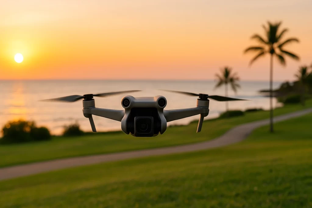
With a recreational drone (e.g., DJI Mini 3 Pro)
- The flight is conducted manually using lower-accuracy GPS positioning
- The images capture the landscape with reasonable visual quality but without controlled scale or alignment
- The pole positions cannot be georeferenced with survey-grade accuracy
- The resulting material is useful only as visual support, without sufficient technical value for detailed design
- The imagery may not meet requirements of utilities or public authorities
A recreational drone can help you “see” the route.
A professional drone with AI-enabled functions and RTK shows where the mapped elements are and with what level of positioning confidence the project can be developed.
The importance of route mapping in technical projects
Accurate route mapping is an essential stage in telecommunications and power distribution, projects, especially when infrastructure will be deployed on existing overhead networks. Before execution, it is necessary to understand the exact route, identify obstacles, validate technical feasibility, and document each support point such as poles, spans, and crossings.
In optical projects, for example, the fiber route needs to follow a safe, economical, and technically feasible logic. In distribution networks, routing should consider safety clearances, coexistence with other infrastructure, and the actual availability of the pole network.
This is where mapping with AI-enabled drones can provide a concrete advantage: it enables field data collection with high precision, speed, and reduced operational exposure, replacing or reducing time-consuming manual surveys in suitable applications.
In addition, the technical documentation generated by this type of survey is not merely visual: it becomes a legal, technical, and contractual input, used in project approval processes by Brazilian utilities such as Copel, Cemig, Enel, and Celesc, and as supporting information for ART technical responsibility records and detailed design drawings.
Case study: the challenge of route mapping in distribution networks
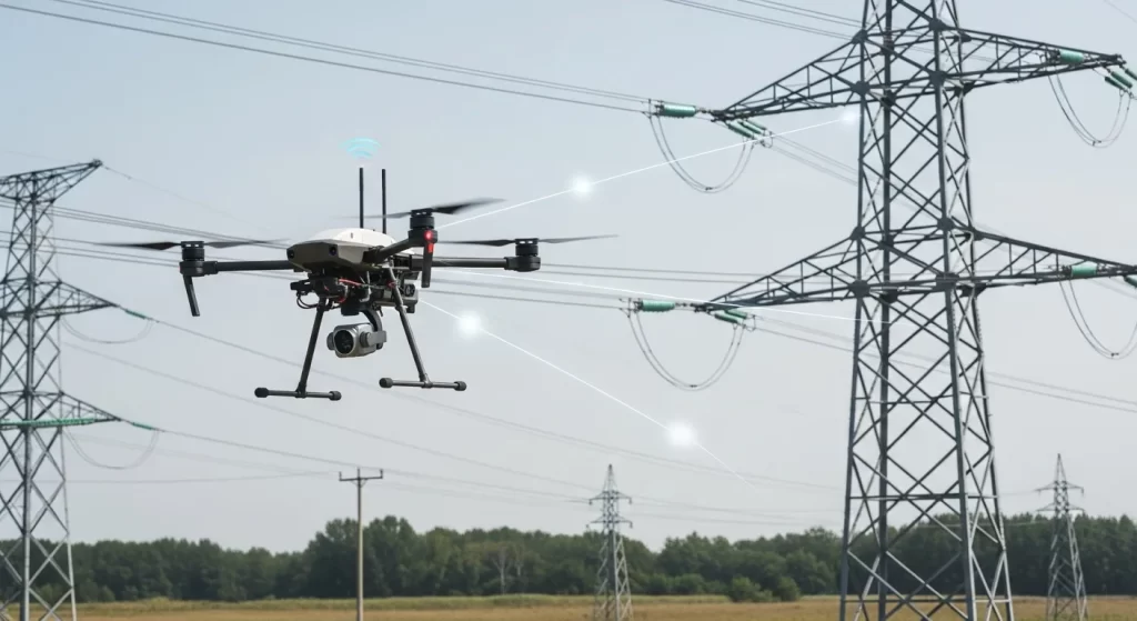
In projects to expand or reinforce power distribution networks, especially in areas with mixed infrastructure spanning urban and rural sections, documentation on the actual position of overhead network poles is often outdated, incomplete, or unavailable. This situation creates a direct obstacle to defining the route of the new network.
In a typical engineering project to interconnect operational structures through an overhead distribution line, the route needs to consider not only the availability of existing poles but also safety requirements, clearances, spans, and interference with other infrastructure such as roads, fences, and vegetation.
In this context, a highly effective approach has been the use of drones with RTK and onboard intelligence, capable of mapping the full corridor with centimeter-level positioning, generating supporting deliverables such as:
- Georeferenced orthomosaics
- Digital terrain models (DTM)
- Automated pole identification
- Extraction of UTM coordinates and vector documentation compatible with CAD platforms
This type of approach can eliminate the need for extensive manual surveying, reduce field time, and provide a robust technical baseline for detailed design. In many cases, the collected data are also used to support approval requests submitted to the utility responsible for the implementation area.
Direct benefits of AI applied to drones in engineering
Integrating Artificial Intelligence into drones used in engineering is more than a technological advance — it represents a change in how technical field surveys can be performed.
By using onboard AI, intelligent sensors, and computer-vision algorithms, drones can perform tasks that previously required days of manual work, while reducing operational exposure and significantly improving the quality of collected data.
| Benefit | Engineering impact |
|---|---|
| Centimeter-level positioning with RTK and onboard AI | Supports reliable drawings and technical reports suitable for utility approval workflows |
| Automated flight and data collection | Reduces field time and the need for physical access along the entire route |
| Autonomous identification of structures such as poles, crossings, and obstacles | Accelerates processing and vectorization of drawings |
| Three-dimensional terrain modeling and orthomosaic generation | Supports engineering decisions in projects involving elevation changes, rivers, slopes, and dense vegetation |
| Generation of documentation compatible with CAD/GIS platforms | Integrates data into the design workflow with precision and speed |
| Operational safety in critical areas | Reduces team exposure to risks near energized lines or difficult-access terrain |
In summary, AI applied to drones makes it possible to replace or reduce manual surveying through an automated process that can be safer, faster, and more precise.
Final considerations
The use of Artificial Intelligence in drones for route mapping represents a practical advance in field engineering. In telecommunications and energy projects, where route accuracy and documentation reliability directly affect approval and execution, this technology can deliver substantial gains.
Replacing manual surveying with automated processes using RTK drones equipped with AI-enabled functions can provide clear gains in efficiency, safety, and technical quality — especially in linear infrastructure, remote interconnections, and restricted-access regions. The generated data are also compatible with modern design workflows and can be integrated with tools such as AutoCAD, QGIS, and BIM platforms.
Our perspective
At A3A Engenharia, we believe technology should be applied with technical judgment, responsibility, and a clear purpose. We therefore continuously evaluate solutions that can make our projects more efficient and robust without compromising accuracy, compliance, or execution feasibility.
Integrating AI-enabled drones into surveying and technical mapping workflows is part of our commitment to practical innovation — innovation that solves real problems, shortens schedules, and raises the standard of delivered engineering. We apply this approach when it provides a legitimate technical advantage to the project.
Explore more about AI applied to Engineering
Artificial Intelligence is already an established engineering resource. The use of intelligent drones for route mapping is only one of several applications transforming how technical projects are designed, executed, and monitored.
If you work in telecommunications, energy, infrastructure, or technology, follow our series on AI in Engineering:
👉 Read also: AI in Engineering — Introduction to the Strategic Use of Artificial Intelligence
👉 Coming soon: AI applications in security systems, video analytics, and critical-infrastructure automation
Do you have a project that requires technical precision in the field?
Talk to our team and learn how to apply AI in practice with safety, reliability, and an engineering perspective.
🔗 Contact us | Follow A3A Engenharia on LinkedIn | Visit our technical portfolio